Dorado is a location prospecting application built on OnCoord's APIs — combining population density, economic activity, and competitor presence into a single map-based interface that helps you find the right location, fast.
From Thousands of Locations to the Right One
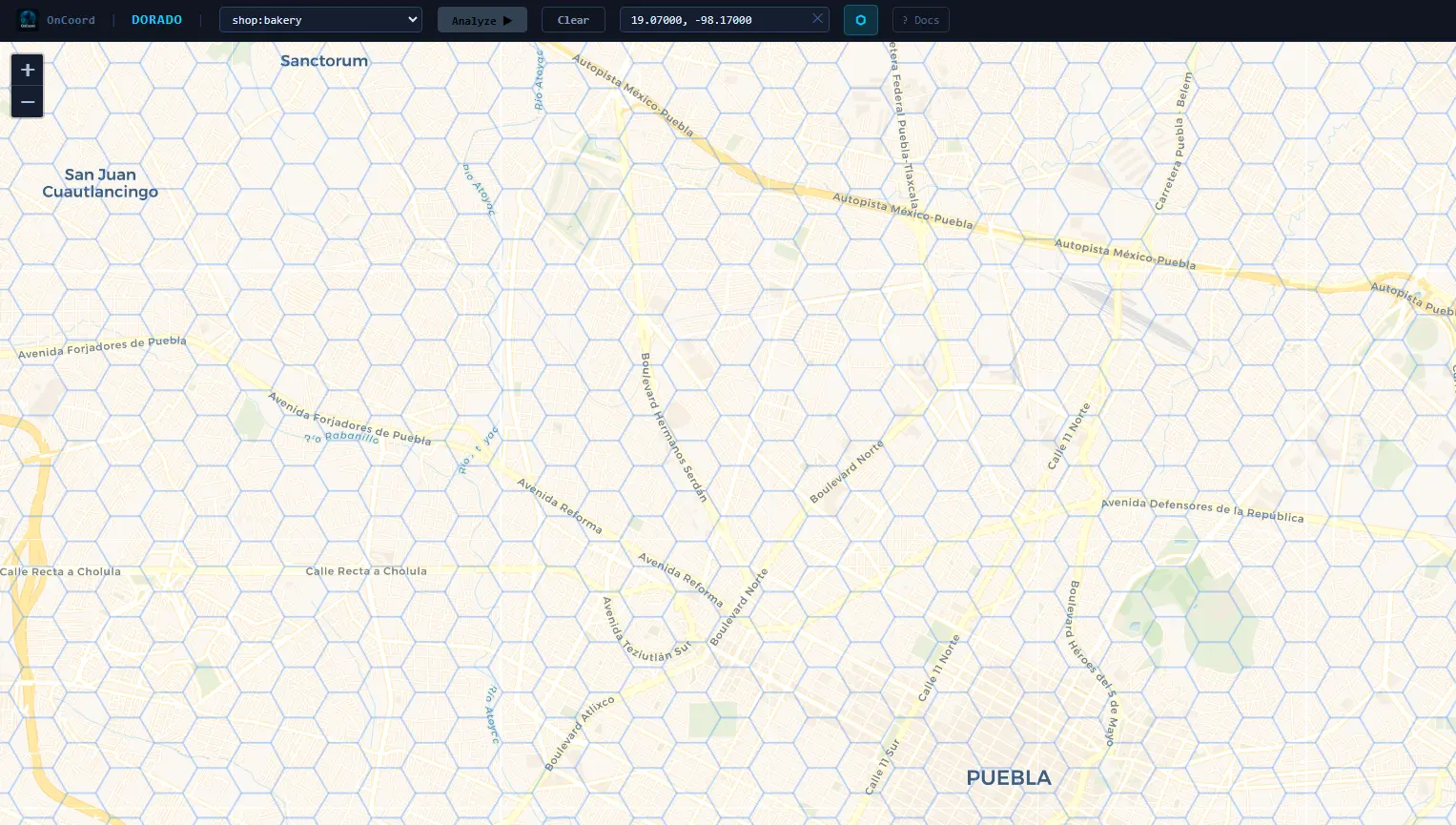
Dorado overlays a scored grid on the map, covering cities across Latin America — Mexico, Central America, and South America. Each cell is evaluated for population density, economic activity, and nearby competitor presence, so you can quickly identify the strongest candidates for your next location.
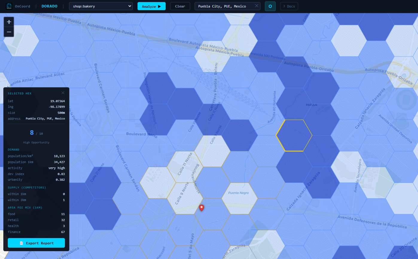
Opportunity Score Model
Dorado computes an Opportunity Score (1–10) for each visible cell by combining demand indicators with a supply adjustment:
- Demand (65%): Derived from population density (residents per km²), activity intensity (nightlight radiance), and urbanity (POI density and diversity).
- Supply Adjustment (35%): Based on nearby competitors within a selected category. Higher competitor counts reduce the final score.
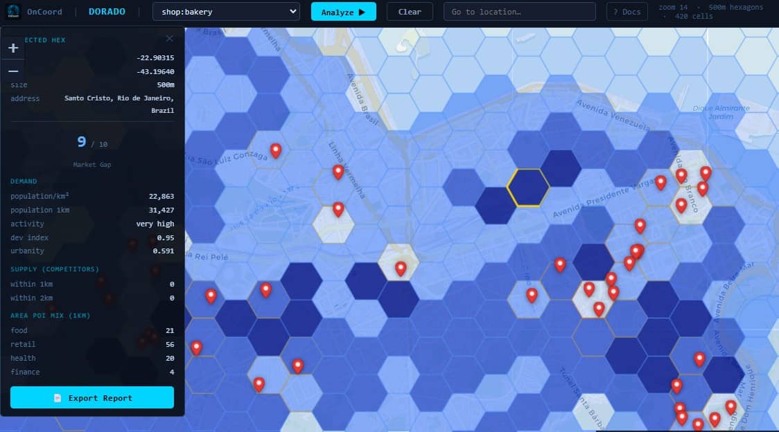
Example
In Santiago Chile, Dorado identified a location with an opportunity score of 7/10 for a ice cream shop. The area combines high population density (~16,000 residents per km²) with no competing shops within a 1 km radius, resulting in a strong demand signal with minimal supply pressure.
Multi-Scale Site Selection
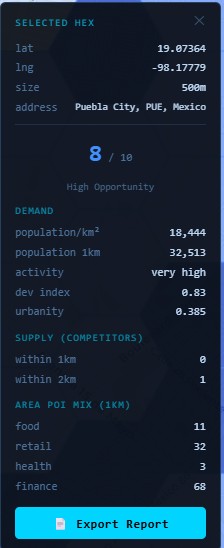
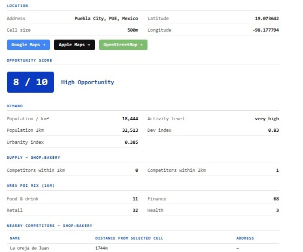
Dorado supports analysis at multiple spatial resolutions. Users can evaluate regions using ~2 km cells for broad comparison, or refine results to ~500 m cells for site-level decisions. Each selected location can be exported as a Location Prospecting Report, including detailed breakdowns of demand, competition, and surrounding POI composition — ready to print as a PDF or share by email.
Dorado is free to try with an OnCoord account and demonstrates how OnCoord's geospatial APIs can be combined to produce actionable, location-based insights through a single interface.