
The Activity API returns nighttime light radiance and a derived development index for any coordinate across Latin America. Data is sourced from the VIIRS Day/Night Band 2023 annual composite at 500m resolution. It is useful for understanding urbanization, economic activity, infrastructure presence, and site development potential.
Click anywhere on the map — or type coordinates below — to retrieve activity data.
Radiance will be 0 for
oceans, uninhabited areas, or locations outside the
coverage area.
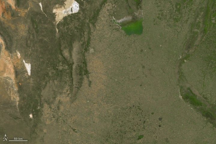
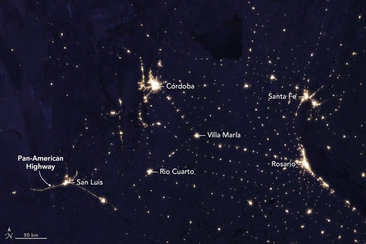
During the day, much of central Argentina appears sparsely populated. At night, VIIRS data reveals a network of towns through visible light.
{
  "radiance": 81.2,
  "development_index": 0.83,
  "activity_level": "very_high"
}
minimal,
low,
moderate,
high, or
very_high.
Useful for filtering or displaying results without additional processing.
Retail site selection teams use it to assess whether a location is in an active commercial area or a low-activity zone. Logistics services use it to prioritize coverage areas. Risk and insurance teams use it as a proxy for infrastructure presence and urbanization. It pairs naturally with population data to build richer location scores.