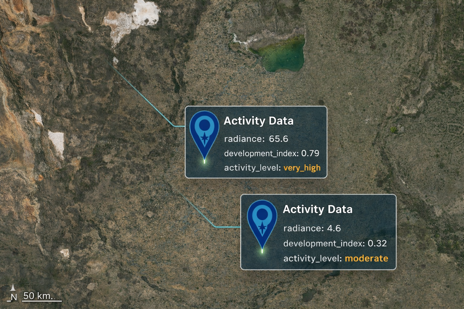
With the addition of activity and development data, OnCoord users can now understand not just where people live, but where economic activity is actually happening. Using satellite-derived nighttime light measurements, the Activity API provides a powerful new way to assess urbanization, infrastructure, and development intensity across Latin America.
See What Daytime Data Misses
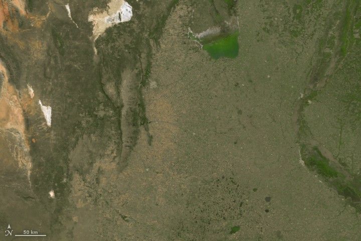
During the day, large parts of Latin America appear sparsely populated, with limited visible evidence of human settlement. Agricultural land, open terrain, and low-density development can make it difficult to distinguish where activity is concentrated.
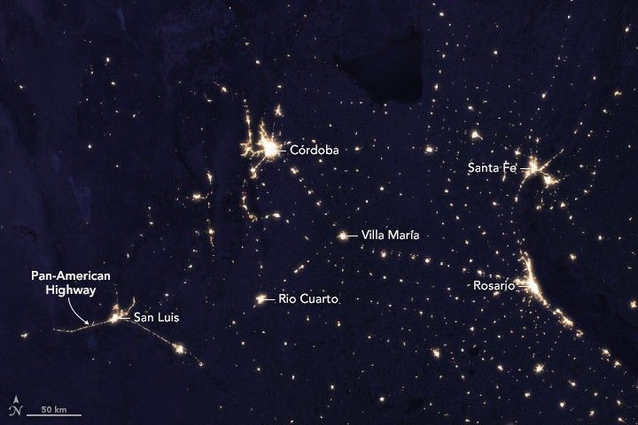
At night, however, a very different pattern emerges. Satellite observations from the VIIRS instrument reveal networks of towns, infrastructure corridors, and economic hubs through artificial light. What looks empty by day often becomes a connected system of activity after dark.
Three Values, One Call
The Activity API is designed to be simple and immediately useful:
{
  "radiance": 81.2,
  "development_index": 0.83,
  "activity_level": "very_high"
}
radiance — raw light intensity captured by satellite sensors,
representing the amount of artificial light at a location.
development_index — a normalized score from 0 to 1 that makes
it easy to compare locations without interpreting raw radiance values.
activity_level — a simplified classification of activity:
minimal, low, moderate, high, or very_high.
Understand Economic Activity Anywhere
Activity data complements population data by capturing a different dimension of location intelligence. Two places with similar population levels may have very different levels of infrastructure, commerce, and economic activity.
Retail site selection teams use activity data to identify high-traffic commercial areas. Logistics companies use it to prioritize service coverage. Telecom and infrastructure planners use it to identify regions with existing development and potential demand.
Flexible and Widely Available
Like other OnCoord services, activity data can be queried for any coordinate. It integrates easily into existing workflows, whether coordinates come from geocoding, GPS, or user interaction.
Together with population, terrain, and geocoding, the Activity API helps developers build a more complete understanding of any location — not just where it is, but how developed and active it is.