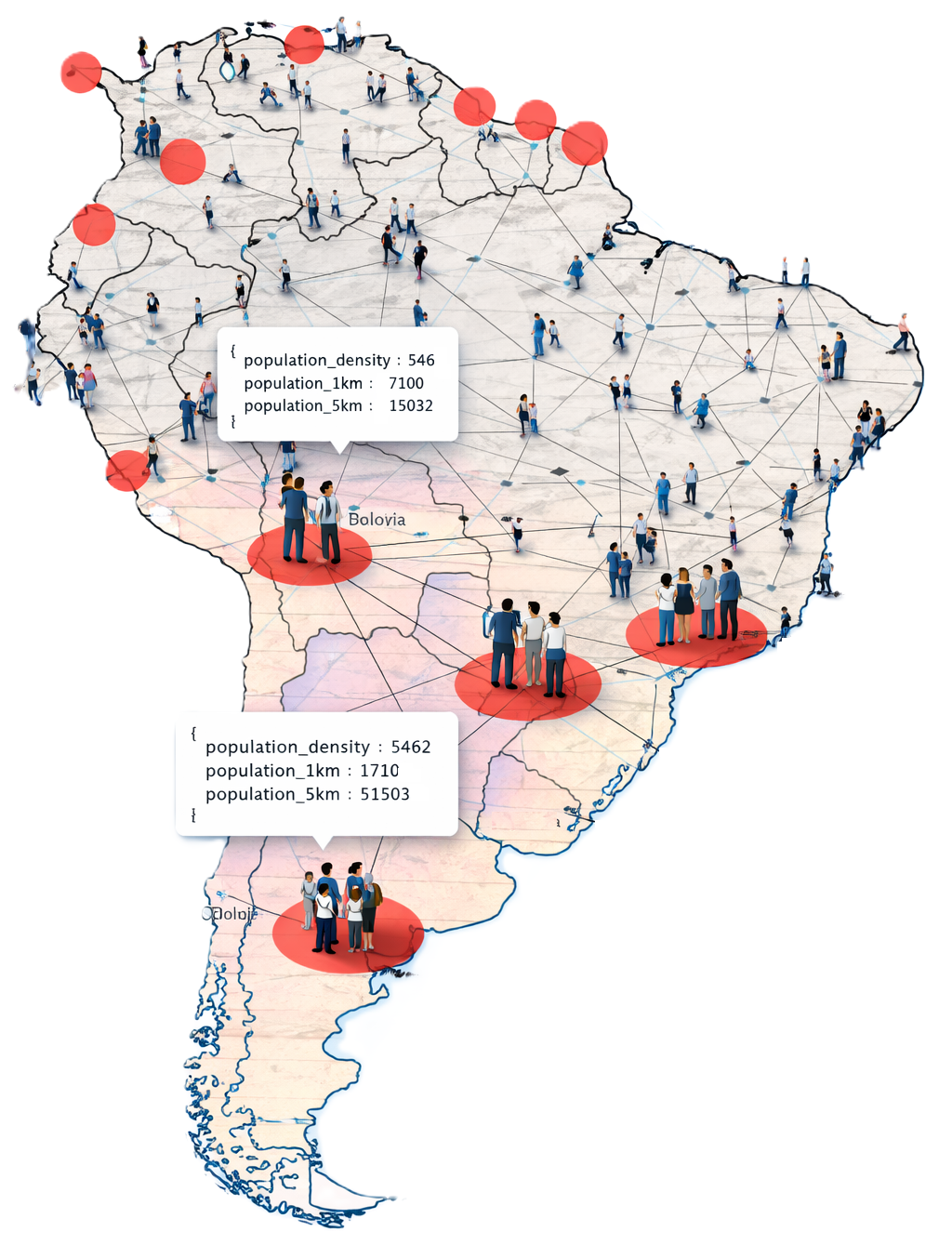
With the population data, OnCoord users can now see how many people live near any location across the regions OnCoord supports — including density, 1 km population, and 5 km population — all in a single, lightweight API call.
Understand Who Lives Near Any Location
A coordinate tells you where something is. Population data tells you how many people are nearby—and that distinction matters. Retail site selection teams need to know how many people live within a few kilometres of a potential location; logistics and delivery services use population density to prioritize coverage areas; telecom and infrastructure planners use it to size capacity and justify investment. With a single API call, developers can now answer the question “how many people are here?” for any point in the region.
Three Values, One Call
The response is intentionally simple. Each call returns three fields:
{
  "population_density": 9,
  "population_1km": 30,
  "population_5km": 935
}
population_density — estimated number of people per km²
in the area around the queried location, useful for quickly classifying
a location as rural, suburban, or urban
population_1km — total estimated population living within
a 1 km radius, suited for hyperlocal analysis such as last-mile delivery
or neighbourhood-level planning.
population_5km — total estimated population within a
5 km radius, better suited for catchment area analysis, market sizing,
and regional planning.
Flexible and Widely Available
Population data can be queried for any coordinate, whether it comes from a GPS device, a geocoding result, a GIS dataset, or user interaction with a map. This makes it straightforward to enrich existing workflows without changing how coordinates are generated or stored.
OnCoord provides coverage across Mexico, Central America, and South America. See our Countries page for a full list of supported countries and data coverage.
Population data is a natural complement to the terrain and geocoding capabilities already in OnCoord. Together, they make it easier for developers building applications in Latin America to get a fuller picture of any location — not just where it is, but what the land is like and how populated the location is.